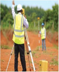
SURVEY TOPOGRAPHIC : Alignment Survey for Transport Corridors, Utility Corridors, Canals, Oil, Gas, and Water Pipe Corridors. River Basin, Catchments, Industrial, Commercial and Urban Zones. PLAIN TABLE AND CONTOUR : Housing, Industrial, Transport, Irrigation & Water Resourcemore...
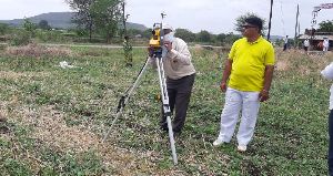
Surveying Method : Digital Contour Survey of land of area using Total Station. Taking actual observation of all exist
Site Location : On Site
Technique : Proper contour survey at required contour internal as per terrain to be plotted with reference to T.
Priya Agencies, Maharashtra provides you with a wide variety of land surveying services for private and public sector clients. From the construction layout of high rise steel structure to 3D laser scanning, we perform comprehensive surveying services for residential and commerciamore...
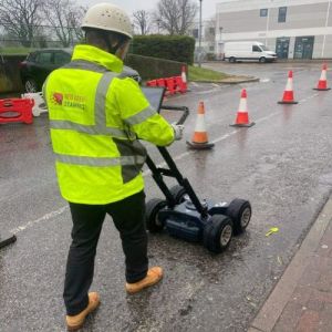
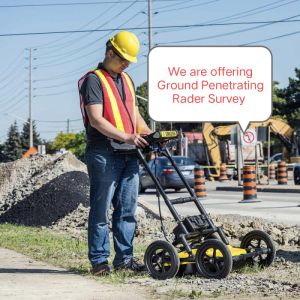
A Ground Penetrating Radar Survey, commonly referred to as a GPR survey, is a geophysical locating technique that makes use of radio waves to take images of entities below ground level without digging up the soil. The GPR provides unprecedented insights and targets confidenmore...
1) GPR Survey: A Ground Penetrating Radar Survey, commonly referred to as a GPR survey, is a geophysical locating technique that makes use of radio waves to take images of entities below ground level without digging up the soil. The GPR provides unprecedented insights more...