Products / Services
  • Products / Services
  • Companies
  • Buy Leads
    Post Buy Requirement

    Aerial & Mobile Lidar Survey Service

    • Business TypeService Provider
    • Preferred Buyer Location India only

    Our Aerial & Mobile LiDAR Survey Service delivers highly accurate, fast and detailed 3D geospatial data for diverse surveying needs. Using advanced LiDAR technology mounted on drones, aircraft....
    View More Details
    Send Enquiry

    Company Information

    • calendar Member Since 1 Year
    • building Nature of Business Service Provider
    • Year of Establishment 2012

    Ask for more detail from the seller
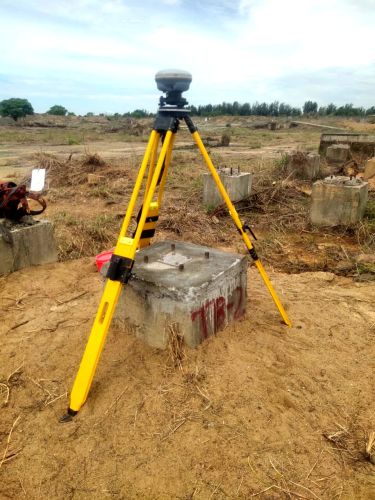
    Contact Supplier
    Report incorrect details
    • Service Details

    • Company Details

    no_img_icon

    Our Aerial & Mobile LiDAR Survey Service delivers highly accurate, fast and detailed 3D geospatial data for diverse surveying needs. Using advanced LiDAR technology mounted on drones, aircraft and mobile vehicles, we capture precise terrain, infrastructure and environmental information with exceptional clarity. Our service supports urban planning, highway design, mining, utilities, land development and environmental studies. We provide point cloud processing, digital elevation models, contour mapping and feature extraction with superior accuracy. With efficient data collection, reduced field time and enhanced safety, we offer reliable LiDAR solutions that help clients make informed decisions and execute projects with confidence.


    Share your requirements for a quick response!
    Tell us what you need?

    Looking for Aerial & Mobile Lidar Survey Service?

    Quantity
    Contact Details
    To list your productBoost Your Business Visibility WorldwideRegister Now
    To list your productBoost Your Business Visibility WorldwideRegister Now
    Waiting for permission
    To search by voice, go to your browser settings and allow access to microphone

    Allow microphone access to search with voice