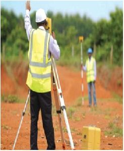
SURVEY TOPOGRAPHIC : Alignment Survey for Transport Corridors, Utility Corridors, Canals, Oil, Gas, and Water Pipe Corridors. River Basin, Catchments, Industrial, Commercial and Urban Zones. PLAIN TABLE AND CONTOUR : Housing, Industrial, Transport, Irrigation & Water Resourcemore...
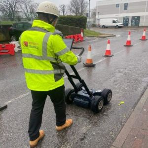
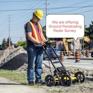
A Ground Penetrating Radar Survey, commonly referred to as a GPR survey, is a geophysical locating technique that makes use of radio waves to take images of entities below ground level without digging up the soil. The GPR provides unprecedented insights and targets confidenmore...
1) GPR Survey: A Ground Penetrating Radar Survey, commonly referred to as a GPR survey, is a geophysical locating technique that makes use of radio waves to take images of entities below ground level without digging up the soil. The GPR provides unprecedented insights more...