Welcome to Raynas infra geomatics service pvt Ltd
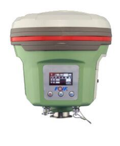
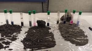
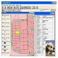
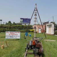
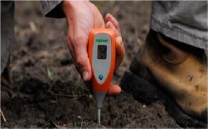
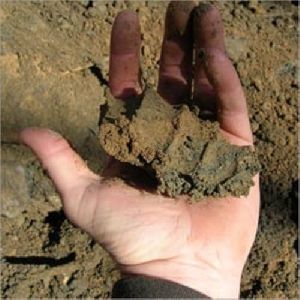
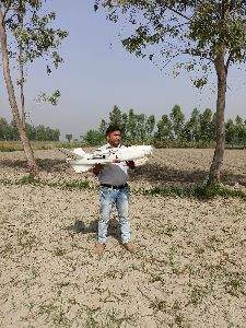
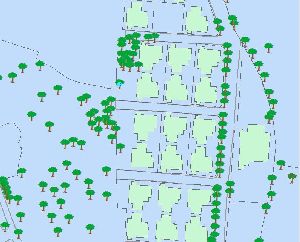
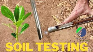
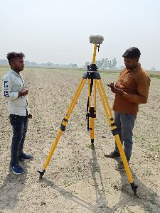
We provide the following services: 1. UAV aerial Drone survey. 2. Lidar Surveying 3. 3D Laser Scanning. 4. Land Surveying 5. Plot Demarcation survey 6. GPR Surveying Service. 7. GIS Mapping service. 8. Geo-technical consultancy services 9. Drone related service 10. Drone on rent. 11.Point Cloud to BIM Solution.
-

Director
Raynas infra
-

Year of Establishment
2017
-

Primary Business
Service Provider
-

Number of Employees
6 - 20
-

Annual Turnover
Below Rs. 0.5 Crore Approx.