Product Specifications
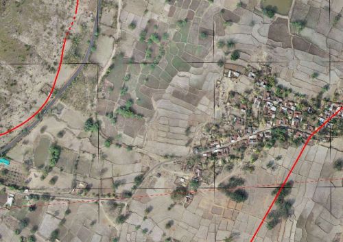
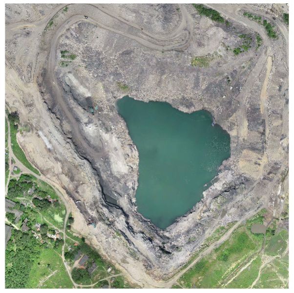
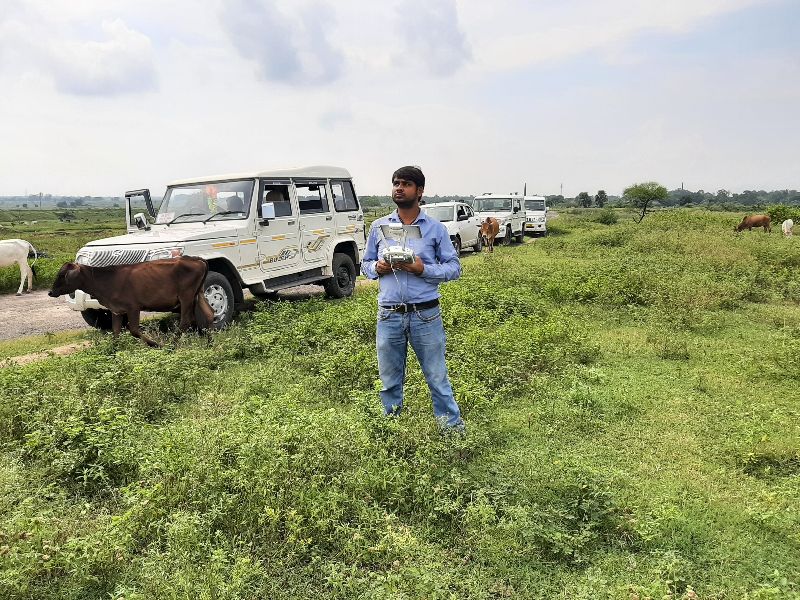
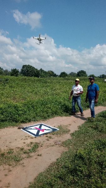
We have gather vast experience in drone survey this survey system can provide more precise survey data with a minimum cost. Processing all the acquired images took only a few hours, generating complete Arial Image of the entire region. These procedures can take a lot less time and cost than traditional survey, yet provide much more detailed spatial information, even in the un-approachable conditions. Conclusively, the new technology of can perform entire tasks efficiently and in completely human-safe conditions.
Therefore contact us and get our services today.


Company Information
Ask for more detail from the seller
Contact SupplierConnect with us