Products / Services
  • Products / Services
  • Companies
  • Buy Leads
    Post Buy Requirement

    Drone Surveying and Mapping

    • Business TypeService Provider
    • Preferred Buyer Location India only

    Unmanned aerial vehicles (UAV / Drone) have started to be widely used in Geospatial sector. Naksha Tech produces economic, fast and accurate maps with a drone that has RTK/GPS technology and is....
    View More Details
    Send Enquiry

    Company Information

    • calendar Member Since 10 Years
    • building Nature of Business Service Provider
    • gst icon GST No. 29AAECN0096L1Z2

    Ask for more detail from the seller
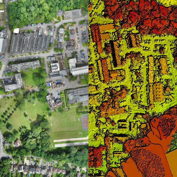
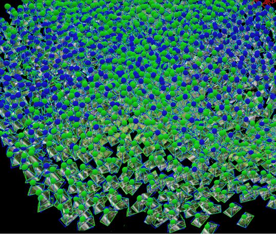
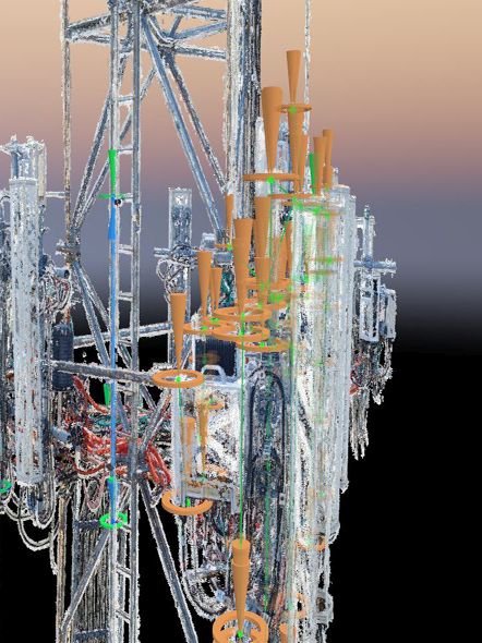
    Contact Supplier
    Report incorrect details

    Service Details no_img_icon

    Unmanned aerial vehicles (UAV / Drone) have started to be widely used in Geospatial sector. Naksha Tech produces economic, fast and accurate maps with a drone that has RTK/GPS technology and is specifically designed for surveying.
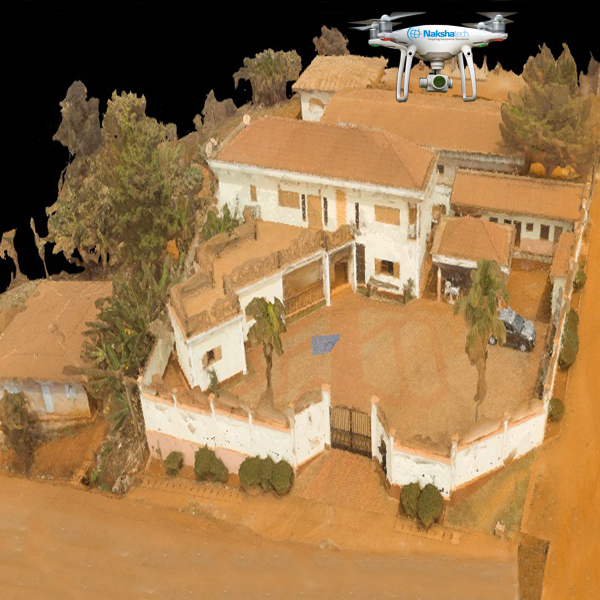
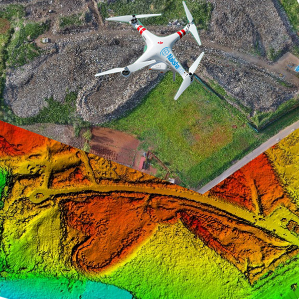
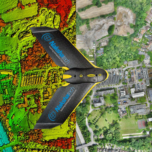
    Naksha Tech owns both Fixed wing and Quad copter UAV’s. Our Drone team successfully executed more than 100 Projects in various sectors.
    Applications:

    • Time Scale and Cost - Cut Inspection time and Dramatic costsavings up to 90% compared to traditional methods.
    • Quality - Future Aerial carry out a performance review after every job to ensure safety processes are followed and quality of output matches customer expectations
    • Accuracy - Detailed and precise data including georeferenced imagery. Our unmanned drones reveal the unseen in hazardous areas.


    UAV Products:

    • Digital Terrain Model (DTM)
    • Digital Surface Model (DSM)
    • Volumetric
    • Contour and Topographic mapping
    • 3D Visualization
    • Ortho-mosaic


    Where to Apply UAV:

    • Mining - To capture terrain, outcrops and stockpile mapping, vegetation, Infrastructure mapping and mine photos.
    • Transport - Paved and Unpaved Roads mapping and Railway line mapping. Real time tracking of Road and railway line conditions.
    • Agriculture - Plant counting and normalized difference vegetation index (NDVI)
    • Industrial Zone - infrastructure planning and mapping
    • Solar Sector - Planning and mapping of industrial buildings to install new solar plants and mapping of existing solar plants for better energy output.
    • Disaster management - Mapping of before and after natural disaster zones to avoid future disasters.
    • Waste Dumping sites - Mapping of government dumping yards for better development.
    • Village, Town and City Planning - aerial mapping of land use and land cover, land parcel mapping.
    • Hydro Sector - mapping of Concrete drainages, lakes and dams.
    • Telecommunication - mapping of Mobile Signal Towers and overhead cables.
    • High tension and low tension Power Line - Real time Mapping of all types of overhead power lines.


    Service Images

    • Drone Surveying and Mapping
    • Drone Surveying and Mapping
    • Drone Surveying and Mapping
    • Drone Surveying and Mapping
    • Drone Surveying and Mapping
    • Drone Surveying and Mapping
    • Drone Surveying and Mapping
    Share your requirements for a quick response!
    Tell us what you need?

    Looking for Drone Surveying and Mapping?

    Quantity
    Contact Details
    • SellerNaksha Tech
    • Address Chamrajpet, Bangalore, Karnataka
    To list your productBoost Your Business Visibility WorldwideRegister Now
    To list your productBoost Your Business Visibility WorldwideRegister Now
    Waiting for permission
    To search by voice, go to your browser settings and allow access to microphone

    Allow microphone access to search with voice