Listing ID #737194
Company Information
Ask for more detail from the seller
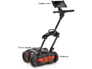
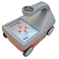
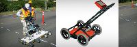
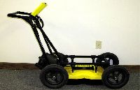
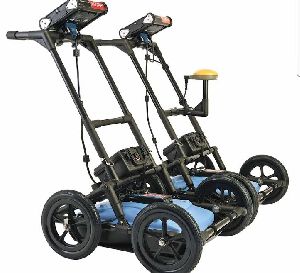
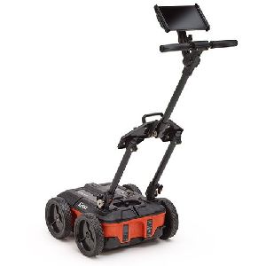
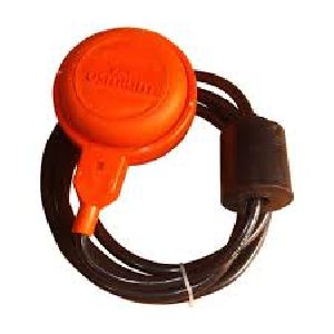
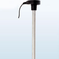
Contact SupplierWe are offering ground penetrating radar (gpr) is a totally non-destructive technique to produce a cross section profile of subsurface without any drilling, trenching or ground disturbances. The profiles are used for detecting buried utilities, such as, pipes, cables, etc in totally non-destructive manner. Additionally, subject to requirements, we also use cable & pipe locators, and for precise definition of locations, we use dgps and electronic total stations.
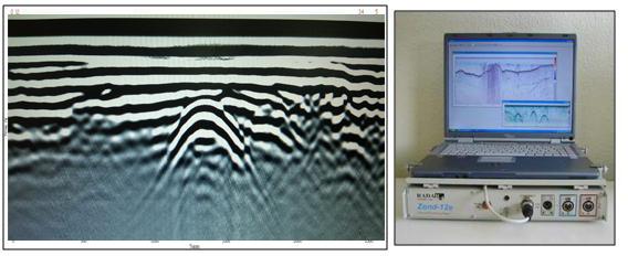
The system operates by detecting subsurface changes in em properties (dielectric permittivity, conductivity, and magnetic permeability) which in a geological setting are functions of soil and rock material, water content, and bulk density. Data is acquired by transmitting high frequency electromagnetic (em) signals into the ground which are reflected from various boundaries possessing em property contrasts. The equipment receives the reflected waves over a selectable time range and displays them in real time on screen. The reflected wave data is also saved in appropriate memory for later processing and interpretation. Gpr measurements are used in geologic, engineering, hydrologic, and environmental applications.
The company provides the following services using gpr:
(a) mapping geologic conditions, such as, depth to bedrock, depth to water table, depth and thickness of soil strata on land and under fresh water bodies, location of subsurface cavities and fractures in bedrock.
Mapping landfills and trench boundaries, and contaminants
(b) location of buried utilities, such as, pipes (metallic and non-metallic), electric cables (induction locator is further used to identify live cables), drums, tanks, sewers, and boulders.
(c) conducting investigations for archaeological and forensic applications.
(d) conducting studies, such as, roads and railroad track-bed studies, and highway bridge scour studies.
(e) inspection of brick, masonry, and concrete structures.


Connect with us