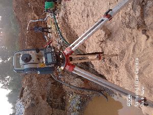
Survey Process : Hydrographic Surveying: Measuring Water Depth And Preparing Bathymetric Maps.,Boundary Demarcation: Identifying Legal Limits Of Ponds And Lakes To Prevent Encroach,Topographic & Contour Mapping: Documenting Surrounding Terrain For Watershed Planning And F
Application : Water Resource Management, Environmental Studies, Aquaculture, Irrigation Planning, Urban Development Projects
A Quantity Surveyor specializes in cost estimation, project budgeting, and financial management for construction projects. They ensure accurate material take-offs, tendering, and cost control, helping developers, contractors, and clients deliver...
Layout Survey – Accurate On-Site Transfer of Plans Layout Survey is an essential step in land development and construction projects, involving the accurate transfer of approved building or site plans onto the ground. It ensures that...
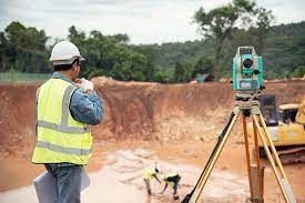
Quantity Surveying by TS" most likely refers to using a Total Station (TS) , DGPS AND DRONE a modern surveying instrument, for quantity surveying tasks, which involves using the TS for site surveys to gather data like distances and...
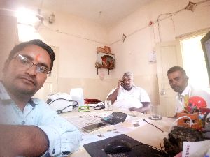
Ours is a premier service provider company, offering professional solutions for field survey needs. We are operating from Rajasthan, India. The assigned work is executed by a team of land surveyors, who make use of elements of geometry &...
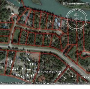
We have gather vast experience in drone survey this survey system can provide more precise survey data with a minimum cost. Processing all the acquired images took only a few hours, generating complete Arial Image of the entire region. These...
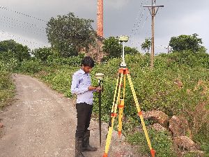
Zodiac Infosolec is the best for DGPS Survey Services in India. This survey is used for the improved location accuracy, in the range of operations of each system, these surveys are constantly correct to the sub-centimetre level. Each DGPS...
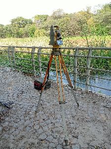
Being a client-focused organization, GeosolutionProservicesPtd. Ltd, offer a unique array of hydrological survey services in Kolkata. Our hydrological survey is a prerequisite required to evaluate the design parameters of industrial, power,...
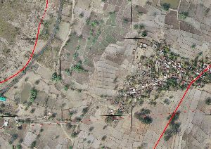
Ever since our establishment in 2000, we GeosolutionsProservicesPtd. Ltd has been offering cost-efficient topographical and contour survey services. Kolkata-based service providers of surveys, we are experts at offering useful insights about the...
Based in Kolkata, we, GeosolutionProservicesPvt. Ltd. offer the most reliable geological and geophysical survey services. We offer our services in regions of the world having climatic and environmental complexities. Our professional survey solutions...