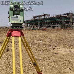
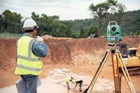
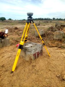
Our Total Station Survey offers comprehensive instruction in advanced digital survey techniques. Participants learn to proficiently operate Total Stations, utilizing cutting-edge technology for precise measurements and data collection. Through theoretical coursework and...
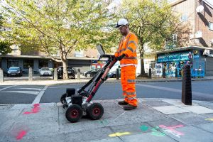
Our Aerial & Mobile LiDAR Survey Service delivers highly accurate, fast and detailed 3D geospatial data for diverse surveying needs. Using advanced LiDAR technology mounted on drones, aircraft and mobile vehicles, we capture precise terrain,...
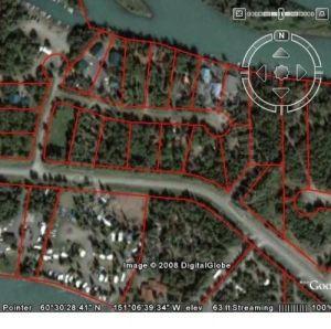
Canal Surveyor – Expert Planning & Surveying for Water Management A Canal Surveyor is a specialized professional responsible for surveying, mapping, and planning canals for irrigation, drainage, navigation, and water...